LAND SURVEY COMPANY
GEODETICKÁ KANCELÁŘ
we provide wide range of land survey services tailored for your project!
zajistíme geodetické práce
pro Váš projekt

Introduction
We would like to welcome you on the website of company AZIMUT CZ, s.r.o.
Our company will help you with your Project. If you´re looking for reliable, traditional land survey Company with more than 20 years on the market, you are on the right place!
Our company consists of 30 skilled professionals, specialized on every “corner” of geodesy. Our team can operate all over Czech Republic, even in special cases abroad.
We are ready to help you!

Provided Services


LAND CONSOLIDATION
Land consolidation is a process carried out in the public interest to spatially and functionally organize land parcels, consolidate or divide them, and ensure accessibility and utilization of land while aligning their boundaries. The objective is to create conditions for the rational management of landowners.

References
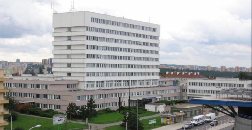
Poliklinika budějovická – prohlášení vlastníka
V roce 2010 jsme zaměřili a zpracovali podklady pro Prohlášení [...]